Imagine walking with your family, coming home from market when suddenly the buildings around you begin to crumble and the earth begins to swallow the people right in front of you. That is exactly what occurred in 1895 in a city called Most in Bohemia (now the Czech Republic) in the worst quicksand disaster in the area to date.

The provided excerpt offers just a glimpse into the extensive article. To unlock the full content, become a Patreon patron. Our team meticulously gathers and curates valuable information, sparing you hours, days, or even months of research elsewhere. Our goal is to streamline your access to the best of our cultural heritage. However, a portion of the content is locked behind a Patreon subscription to help sustain our operations and ensure the continued quality of over 1,200 pages of our work.
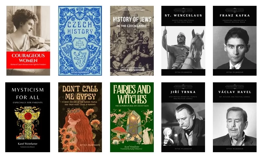
Alternatively, you can contribute through Venmo, PayPal, or by sending cash, checks, money orders. Additionally, buying Kytka’s books is another way to show your support.
Your contribution is indispensable in sustaining our efforts and allows us to continue sharing our rich cultural heritage with you. Remember, your subscriptions and donations are vital to our continued existence.